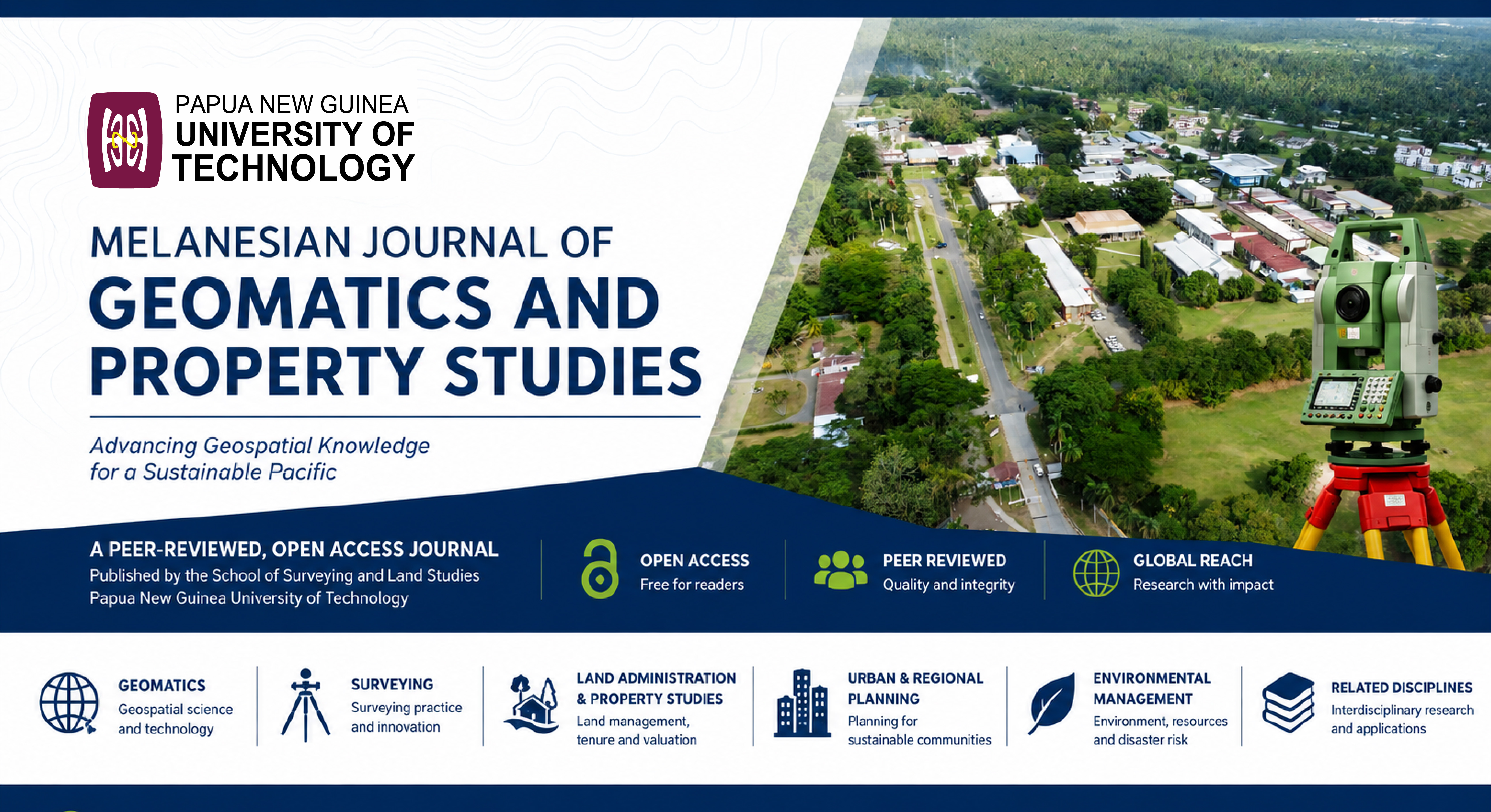
About the Journal
Call for Original Papers
Volume 12, 2026
Deadline for Submission: 31 st September, 2026
Expected date of Publication: December, 2026
Publication charge: Free
Dear Researcher,
Melanesian Journal of Geomatics and Property Studies (MJGPS) is a peer-reviewed open access journal in subjects of scholarly research and practical experience of a wide range of research areas including satellite remote sensing, change detection, image processing and pattern recognition, remote sensing applications, geographical information system, photogrammetry and digital mapping, geodesy sciences, spatial data analysis, environmental sciences, climate change, new-style energy, energy conversion, waste disposal strategies, environmental technologies, processes linking environments, soil science, environmental biology, ecology and sustainable development, geosciences and environmental physics, cadastral mapping, land information system, property valuation, development appraisal, property development / management, land registration/dispute settlement, land law, urban and regional planning, evaluation and management of environmental risk and safety or any other property/land related topics
We are calling for paper submissions.
Submit your article through our submission portal HERE
More detailed information can be accessed from the following links:
* Manuscript Template Download
For more enquiry, you can contact:
Tel: +675 473 4962
Email: editor.mjgps@pnguot.ac.pg
Current Issue
Vol. 11 No. 1 (2025): Melanesian Journal of Geomatics and Property Studies (MJGPS) Volume 11 - 2025
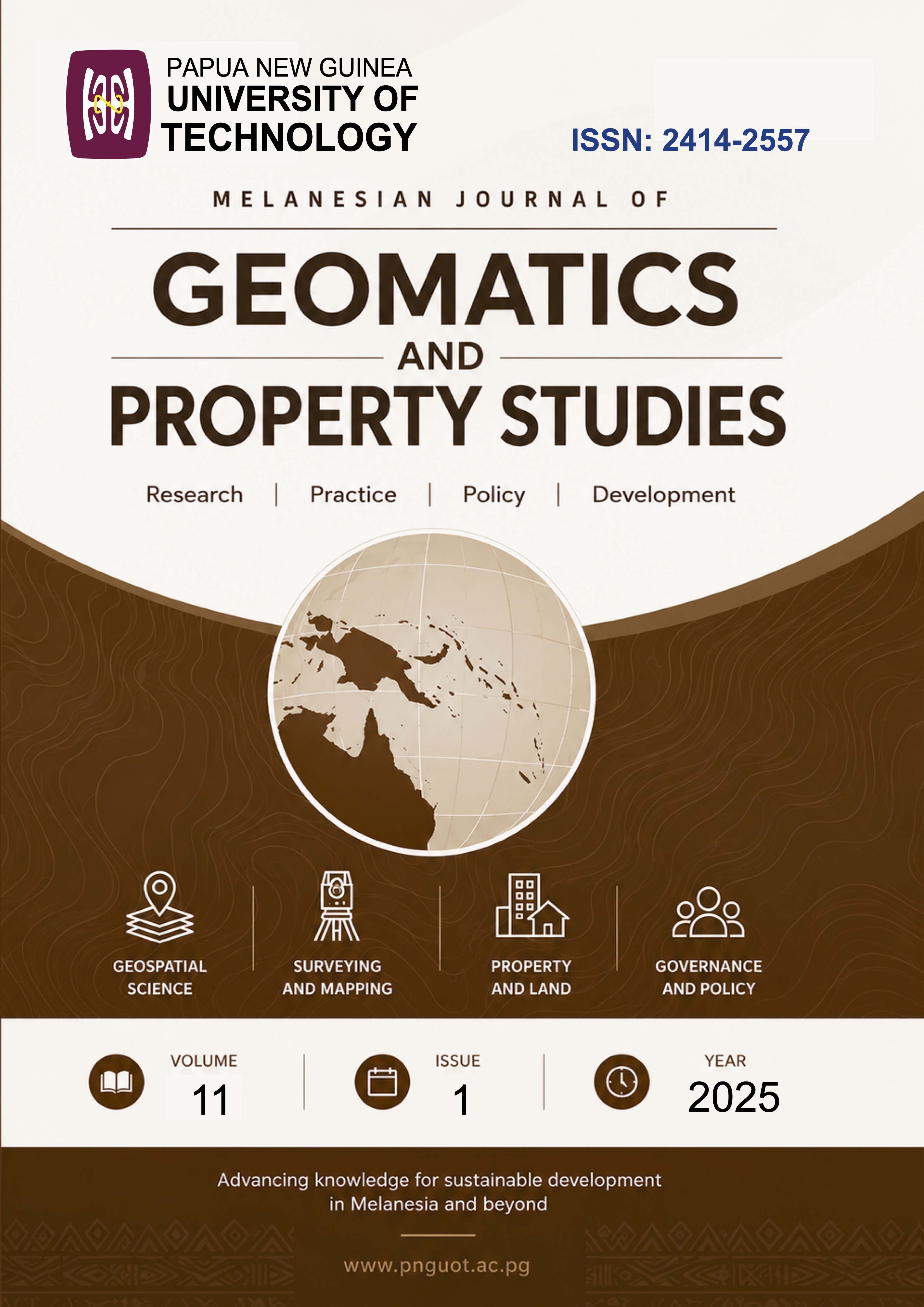
This issue of the journal brings together five rigorously peer-reviewed papers that advance scholarship at the intersection of geomatics, land administration, spatial technologies, and landed property systems, with a strong empirical focus on Papua New Guinea (PNG). Collectively, the contributions illuminate both enduring institutional challenges and emerging technological opportunities shaping land governance and spatial data infrastructures in developing contexts. The first paper critically examines the operation of value-based land taxation in Lae City, highlighting institutional, fiscal, and cadastral weaknesses within PNG’s unimproved value rating system. It underscores the central importance of accurate valuation rolls, updated fiscal cadastres, and effective enforcement for sustainable local government revenue and urban management.
The second paper demonstrates the application of UAVs and remote sensing for rural planning in the Nomad District, situating geomatics innovation within challenges of accessibility, land-use planning, and natural resource management, and reinforcing its relevance for evidence-based rural development.
Revisiting foundational cadastral principles, the third paper evaluates the contemporary relevance of the Fourmil Standard Meridian, illustrating how legacy survey frameworks can be harmonised with modern technologies such as RTK GNSS and UAVs to enhance cadastral accuracy and tenure security.
The fourth paper extends the discussion into digital spatial governance by assessing blockchain architectures for large-scale geospatial data distribution, offering insights into scalability, security, and energy-efficiency considerations relevant to national spatial data infrastructure custodians.
The final paper examines the sustainability of economic benefits delivered to mining-affected communities in Western Province, revealing limitations in compensation-driven development models and emphasising the need for coordinated stakeholder engagement and complementary investment strategies.
Together, these papers reaffirm the multidisciplinary nature of geomatics and landed property scholarship, where technical, institutional, socio-economic, and technological dimensions are deeply interconnected. The Editorial Board commends the authors for their contributions and anticipates that this issue will inform policy, professional practice, and future research in PNG and comparable settings.
Dr. Andrew Pai, Head of the School of Surveying & Land Studies
Published:
2025-09-10


